August 2022 Conservancy Newsletter
Fire season is far from over, but one year after the Caldor Fire, we can celebrate having had a summer largely free of wildfire disruptions, allowing us and our partners to advance our work to protect and restore Lake Tahoe.
I congratulate our staff and partners on being recognized in the recent Best in Basin awards for Tahoe environmental projects. As described below, often the best projects can only advance through complex partnerships: sometimes the Conservancy provides the land or funding, while a local agency handles construction. Other times we might lead the project but rely on partners for funding and technical support. Such partnerships are how we will continue to protect this national treasure. Together, we can strengthen Tahoe communities and our resilience to climate change.
Jason Vasques, Executive Director
California Tahoe Conservancy
New Story Map: Accelerating Conservation, Protecting Biodiversity at Lake Tahoe
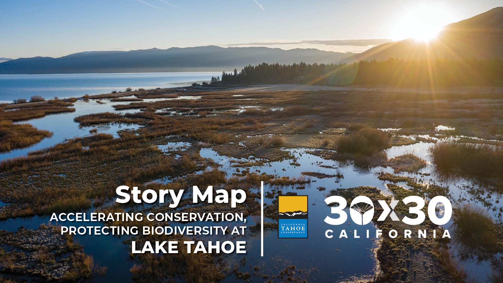
California is committed to conserving 30 percent of its lands and coastal waters by 2030. Our new story map shows how the Conservancy advances 30×30 by acquiring sensitive lands, restoring ecological function, and building a more resilient future under climate change.
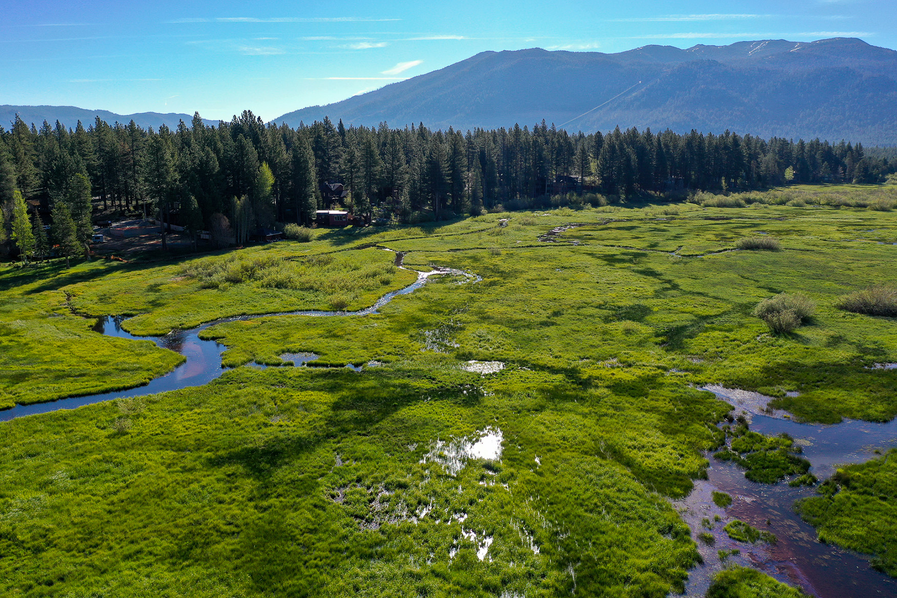
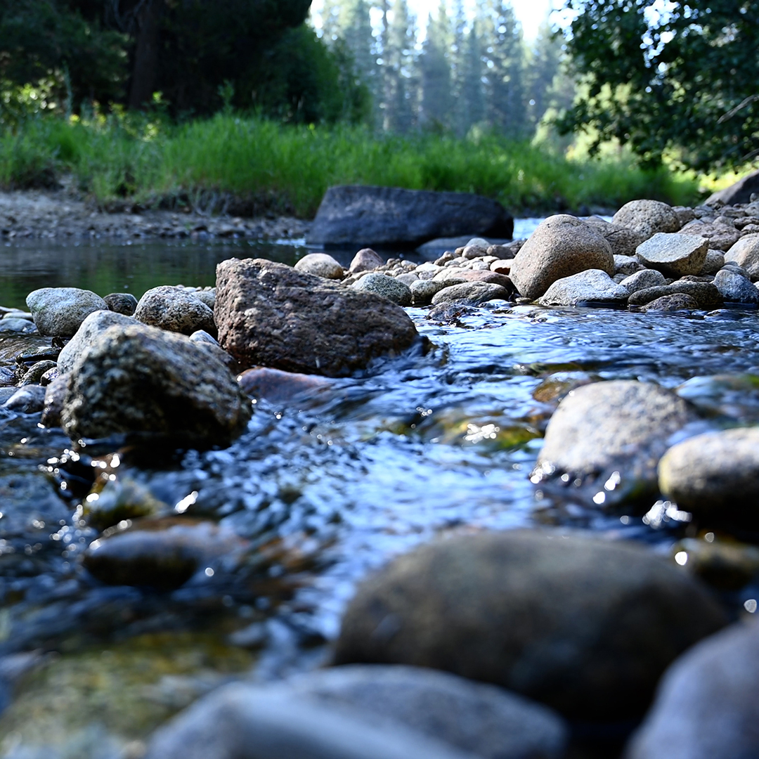
Connecting Rivers to Wetlands, Upper Truckee Marsh Restoration
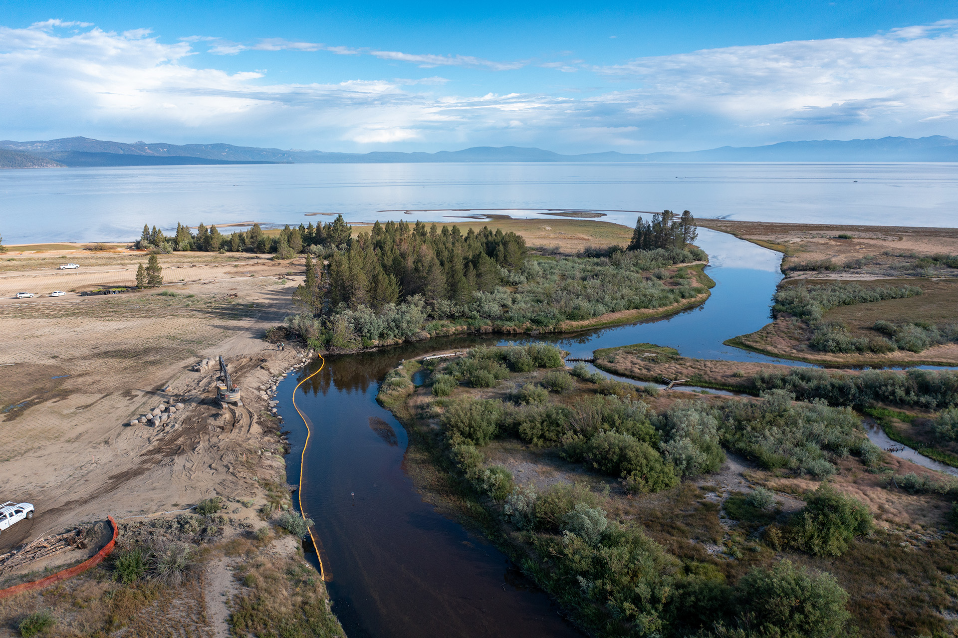
This month, the Conservancy took the final steps to connect the Upper Truckee River to 12 acres of new wetlands at the Upper Truckee Marsh by removing a narrow earthen barrier along the riverbank. Over the past two years, the Conservancy created the new wetlands on land that developers dredged and filled in the 1950s and 60s for a never-completed condominium complex.
With the earthen barrier gone, the Upper Truckee River will be able to flow into the new wetlands the next time water levels rise. During high flows, the river will spread out over 70,000 new wetland plants. These new wetlands will provide critical wildlife habitat and filter pollutants before entering Lake Tahoe. They also add to our effort to increase the climate resilience of the 560-acre Marsh.
Artist’s rendering of the transition of the Cove East area to wetlands.
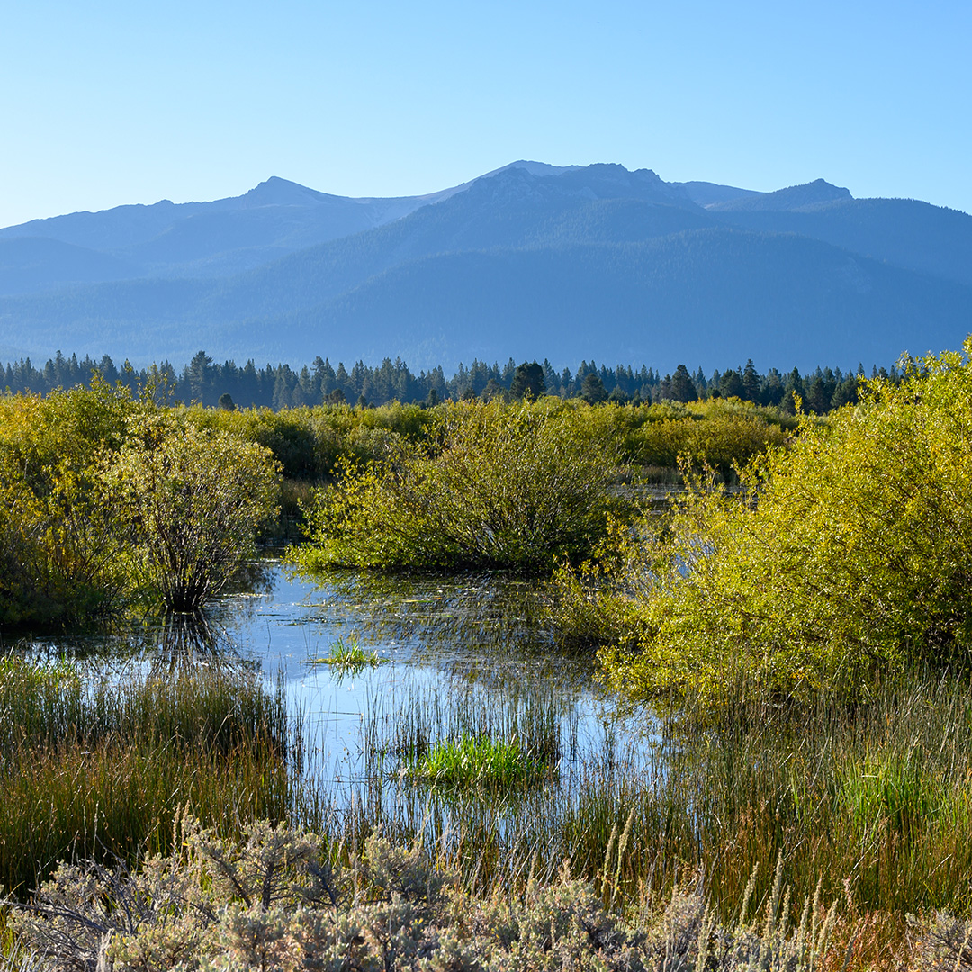
After a few years of growth, the new wetlands will resemble the adjacent area, as shown above, that the Conservancy restored in the early 2000s.
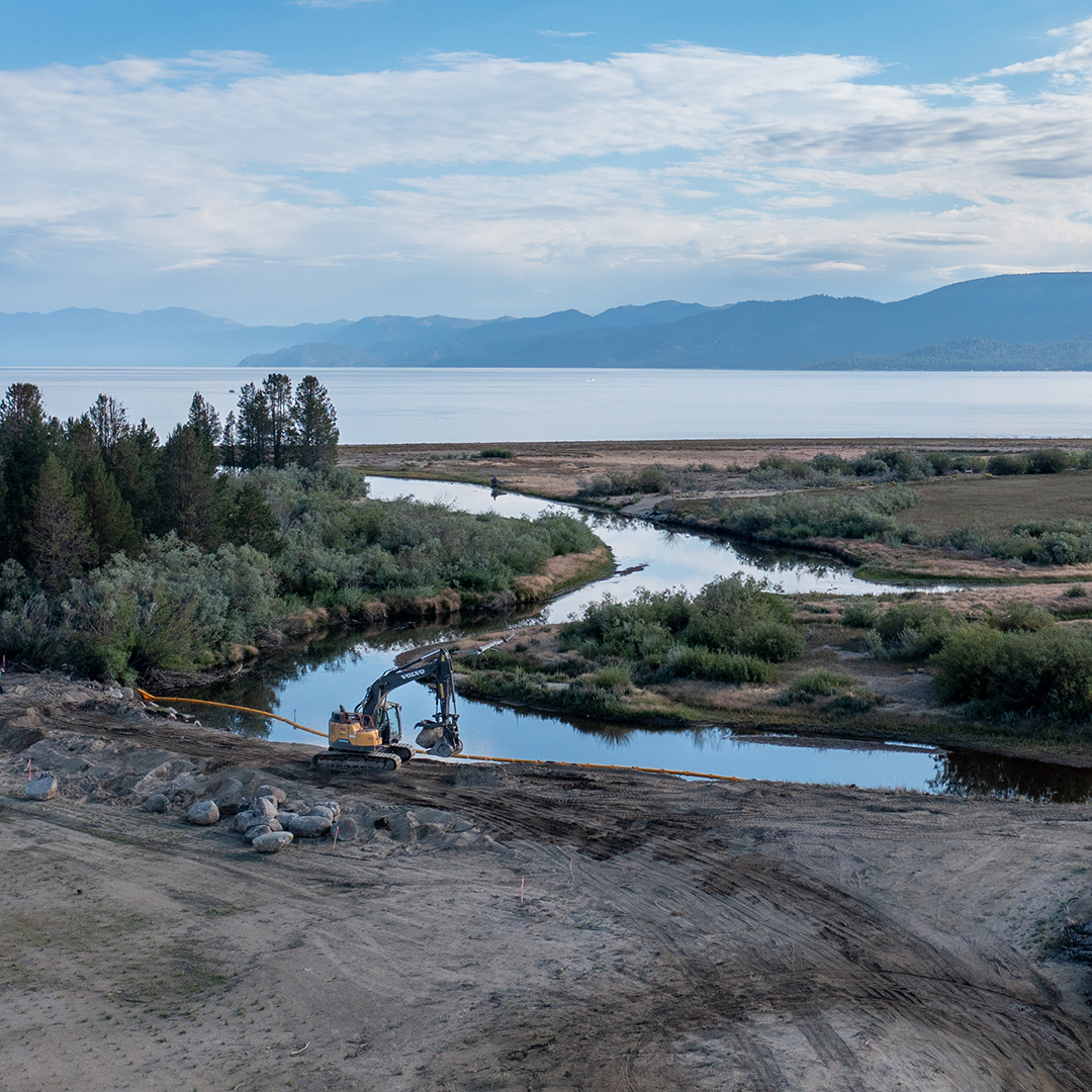
An excavator removing an earthen berm that separates new wetland area from the Upper Truckee River.
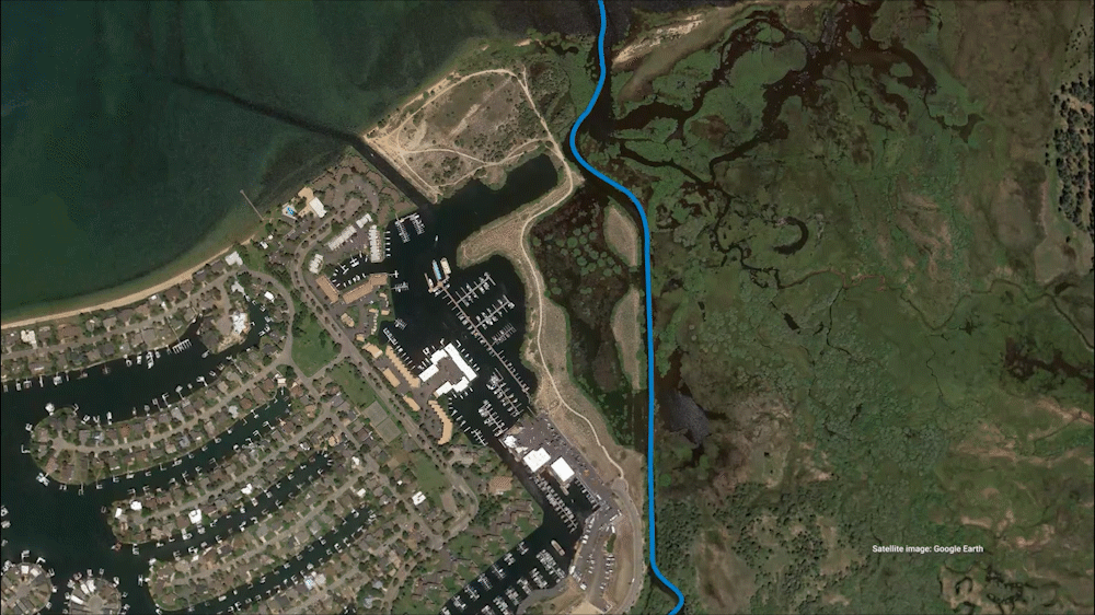
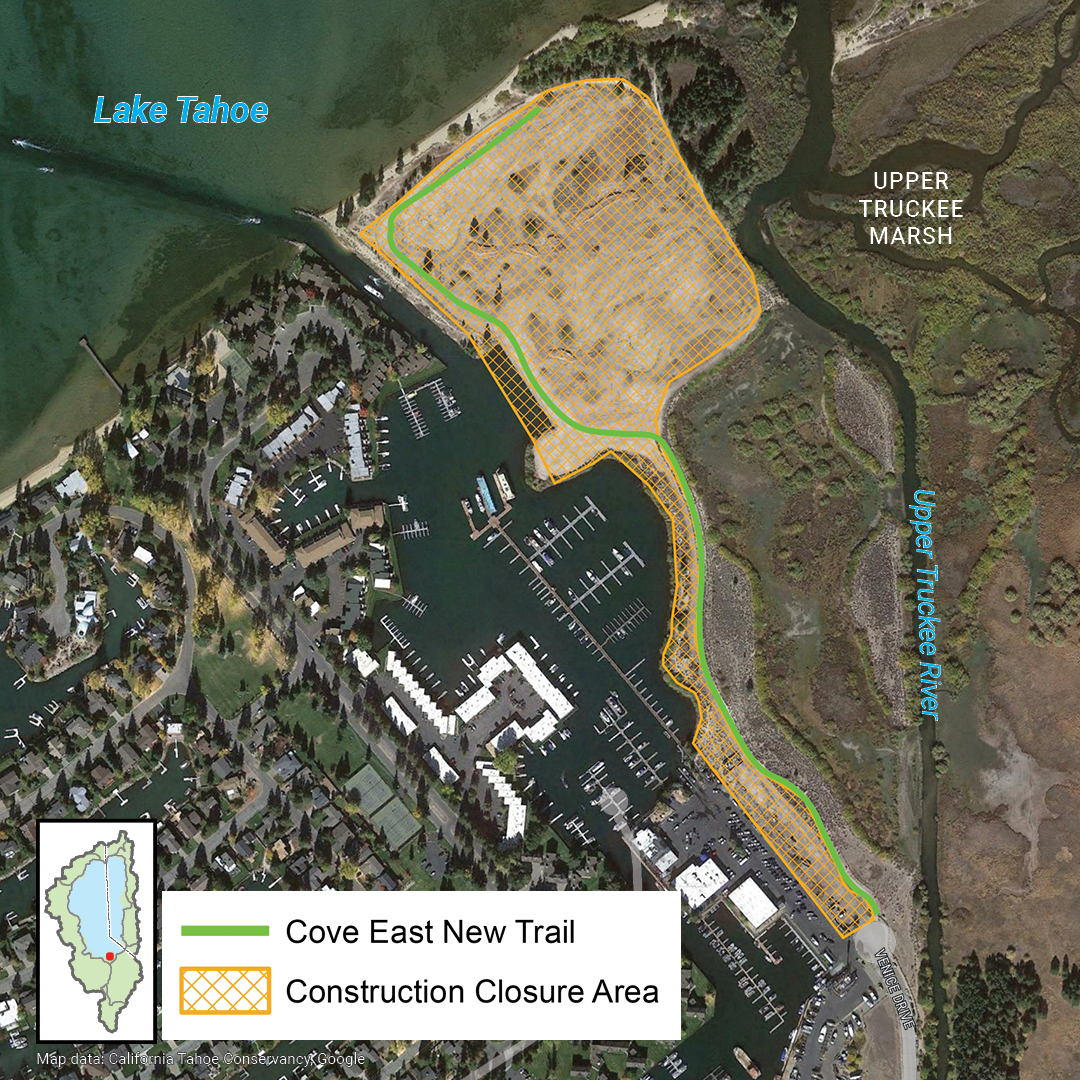
Temporary Trail Closure at Cove East to Lake Tahoe
On September 12, the Conservancy will begin final work to improve a trail to Lake Tahoe at the Upper Truckee Marsh. The unpaved, shared-use trail runs approximately a half mile from the east end of Venice Drive to a beach at Lake Tahoe. The Conservancy will close the trail temporarily during active construction.
The trail improvements are one component of the Conservancy’s nearly complete Upper Truckee Marsh Restoration Project. This will be the first and only time that visitors have a temporary loss of lake access due to the project, despite extensive active construction in recent summers. Trail construction may last up to three weeks. When complete, the new trail will be more durable and will be fully accessible to all users. By staying on trails and observing all closures, visitors can help protect sensitive wildlife habitat at the Upper Truckee Marsh.
Conservancy, Partner Projects Receive Best in Basin Awards
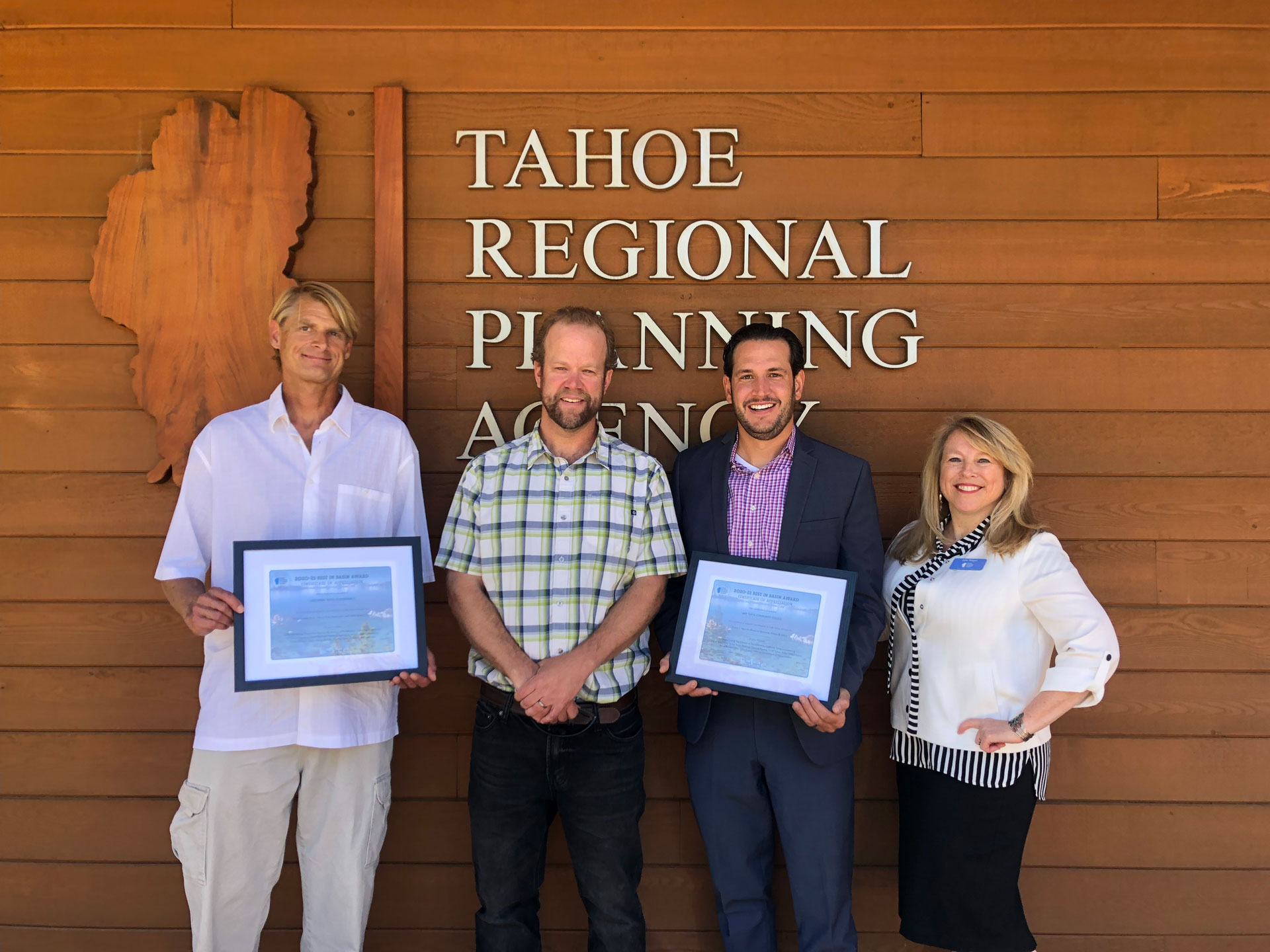
The Tahoe Regional Planning Agency selected the Dennis T. Machida Memorial Greenway and the Tahoe Pines Restoration and Public Access Projects for Best in Basin Awards, while awarding an honorable mention to the Country Club Heights – Phase 3 Erosion Control Project. What is notable is the large number of Tahoe partners involved in each. In total, these projects are the result of hard work and support from 17 public and private partners. The Conservancy congratulates its partners and looks forward to continuing to collaborate on work to increase climate resilience, protect biodiversity, and improve public access and recreation opportunities for all.
The Dennis T. Machida Greenway
The Upper Truckee River at Tahoe Pines in Meyers.
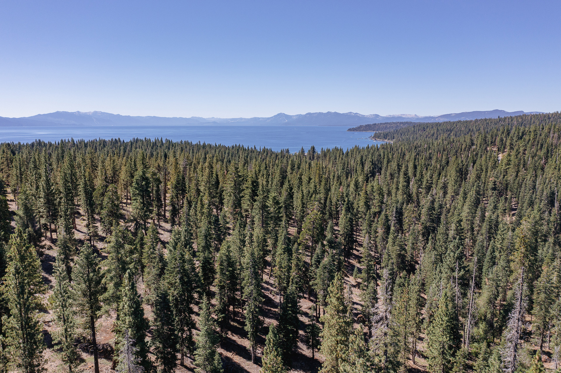
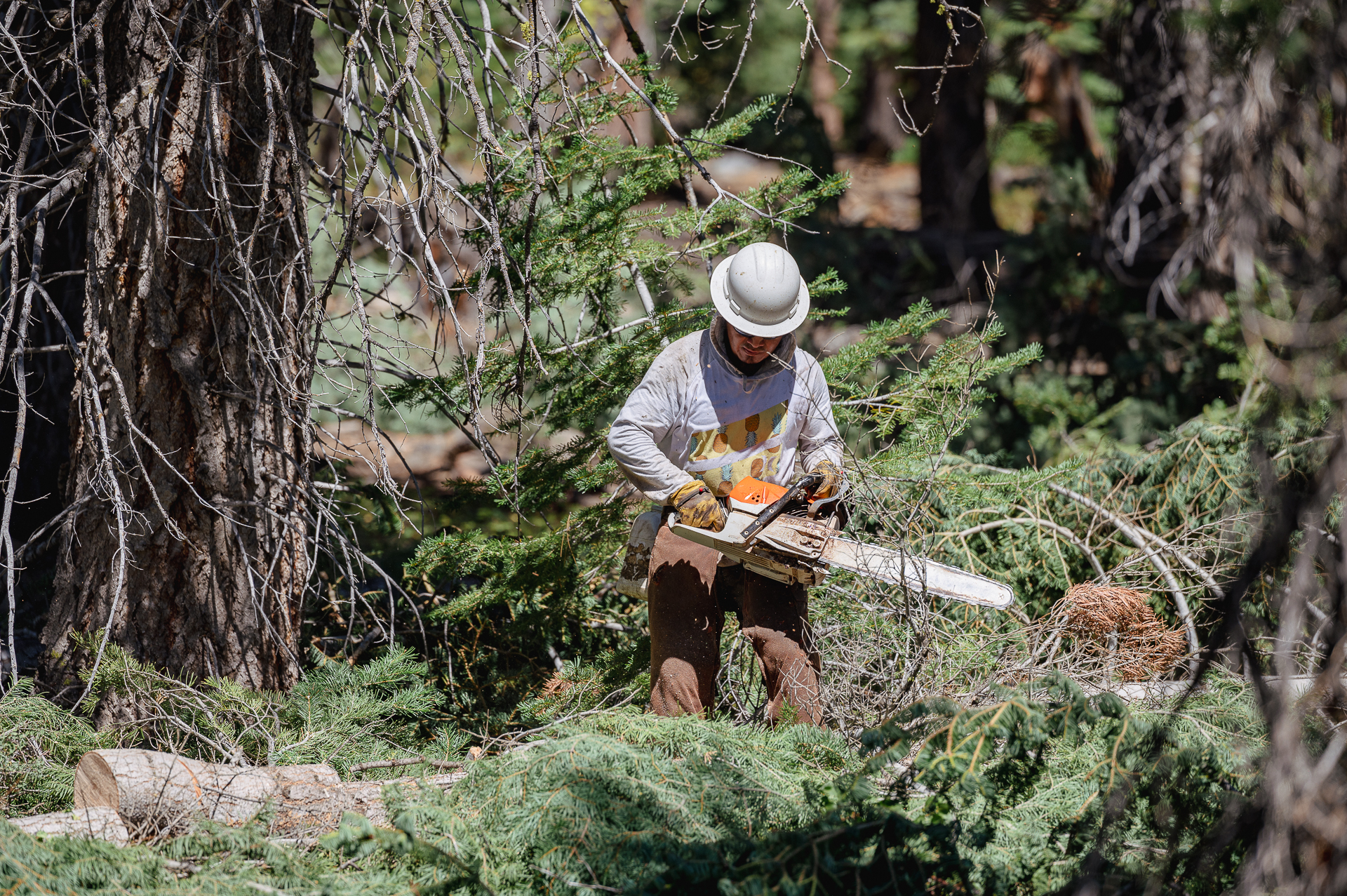
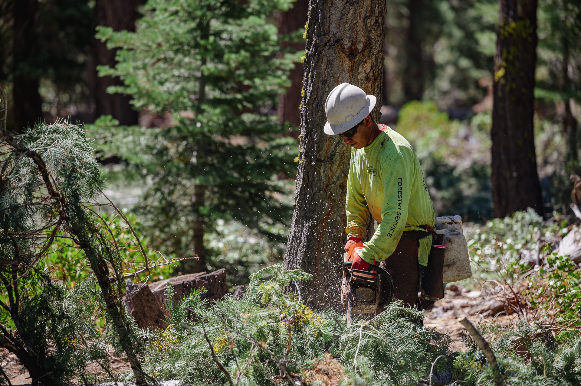
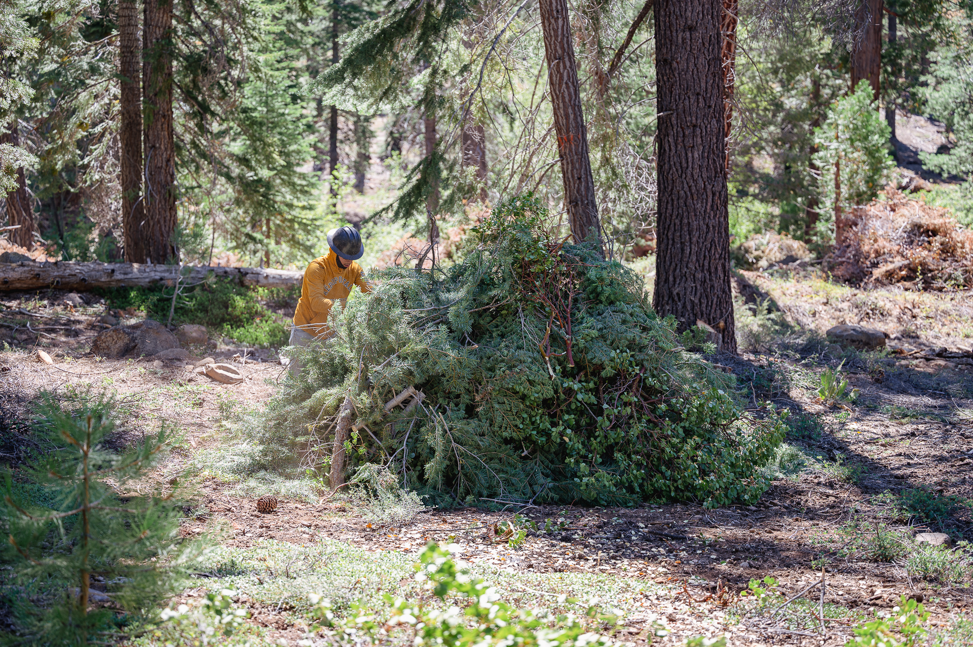
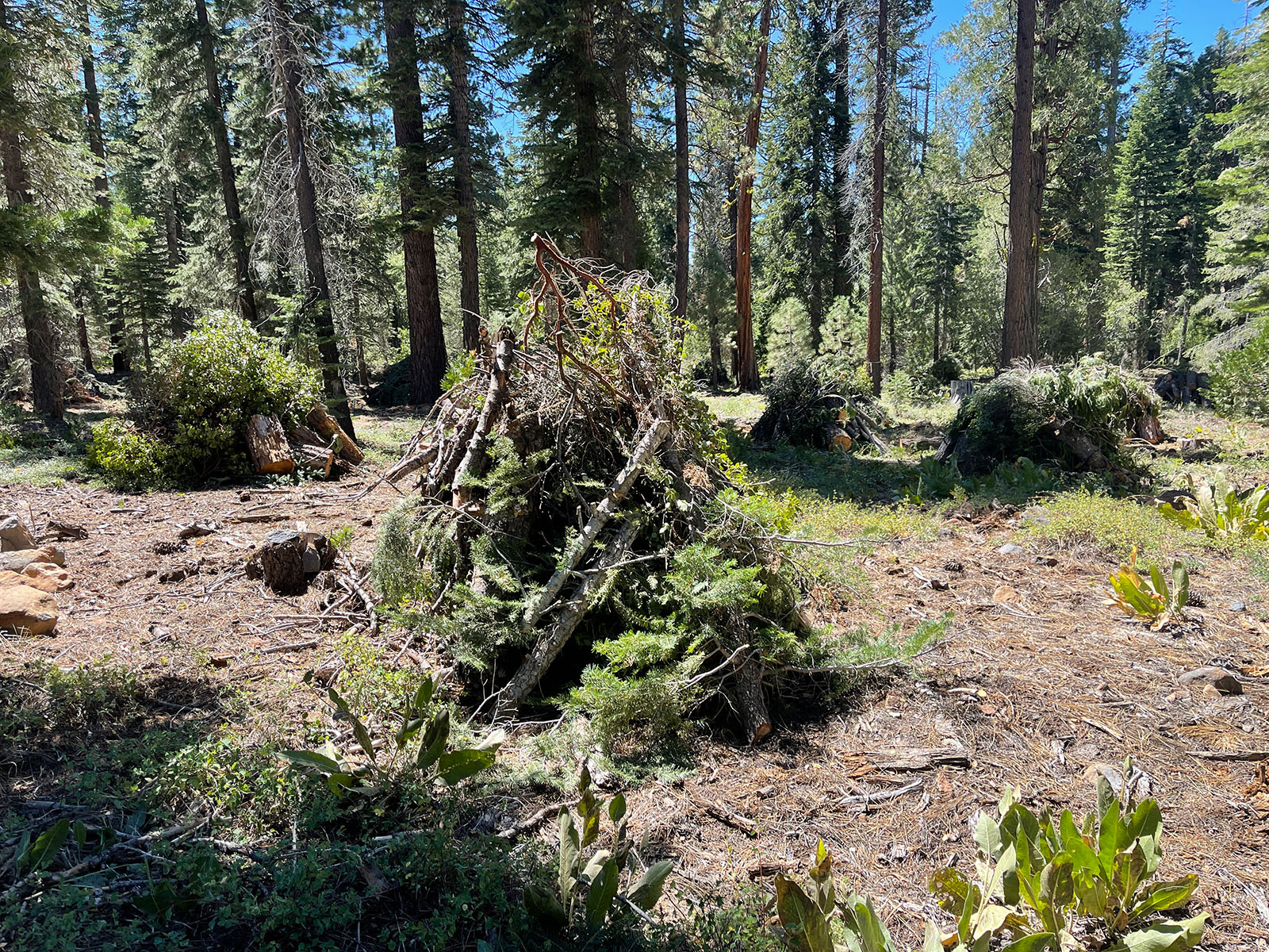
Reducing Wildfire Risk, Improving Forest Resilience in Carnelian Bay
This summer, the Conservancy and the North Tahoe Fire Protection District are reducing hazardous fuels on 286 acres of Conservancy, private, and local government land in the Carnelian Bay area of Placer County. Located within the wildland-urban interface (WUI), this work improves forest health and reduces wildfire risk for community members.
The Conservancy designed the treatments to reduce hazardous fuels, decrease the potential for high-intensity wildfire, and increase forest resilience. Healthy forests store more carbon, provide better wildlife habitat, and are more resilient to climate change. Funding for this project comes from a Southern Nevada Public Land Management Act (SNPLMA) Round 16 Hazardous Fuel Reduction Grant from the Bureau of Land Management.
This work complements forestry efforts by partners on adjacent lands, including the North Tahoe Fire Protection District’s work in recent years to thin dozens of Conservancy lots in the surrounding neighborhood. Together, these projects further the Basin goal of completing all initial forest health treatments in the WUI by 2025.

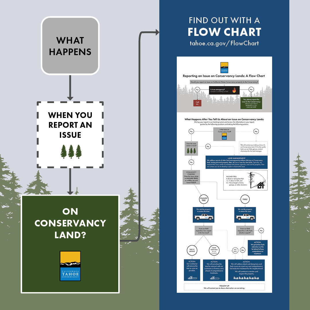
Flow Chart: Reporting an Issue on Conservancy Lands
The California Tahoe Conservancy owns 4,700 properties at Lake Tahoe, which we manage for open space, wildlife habitat, and public access. We inspect each property at least once every two years, but we also rely on community members to report issues on Conservancy lands.
In the year since the Caldor Fire, the number of such reports has greatly increased. Most relate to forest health on the public lands that we manage.
This is a good thing—we all have a role to play in reducing wildfire risk. We made a flow chart to help explain what happens after you report an issue on Conservancy lands.
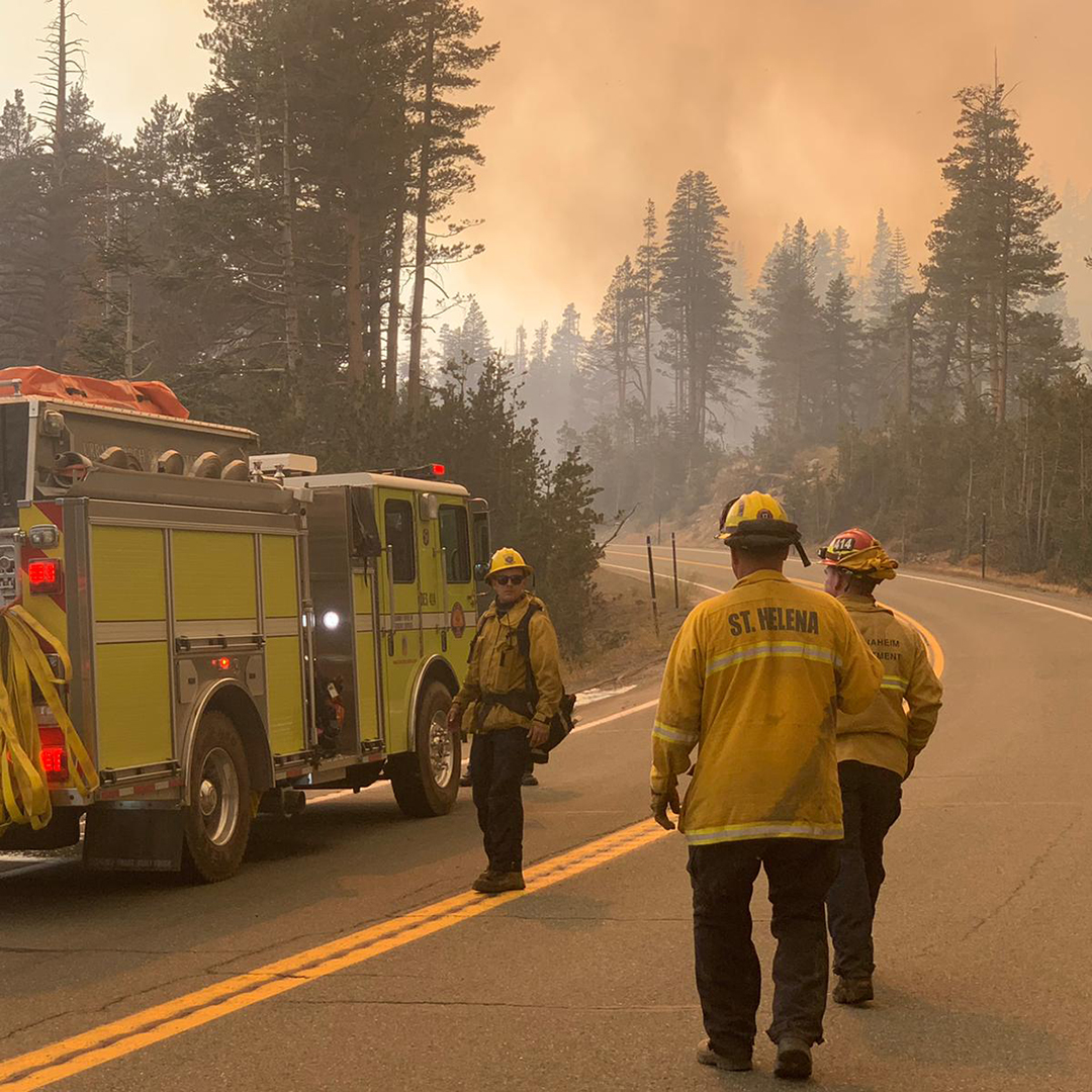
Conservancy Provides $406k for Planning to Protect Tahoe Communities During Wildfires
The Conservancy awarded a $406,500 grant to the Tahoe Resource Conservation District to update critical plans to reduce wildfire danger to Tahoe communities. Tahoe RCD will coordinate regional efforts to update Tahoe’s “pre-attack plans” and the Lake Tahoe Basin Community Wildfire and Protection Plan to reflect lessons learned from the 2021 Caldor Fire. (Photo by CAL FIRE)
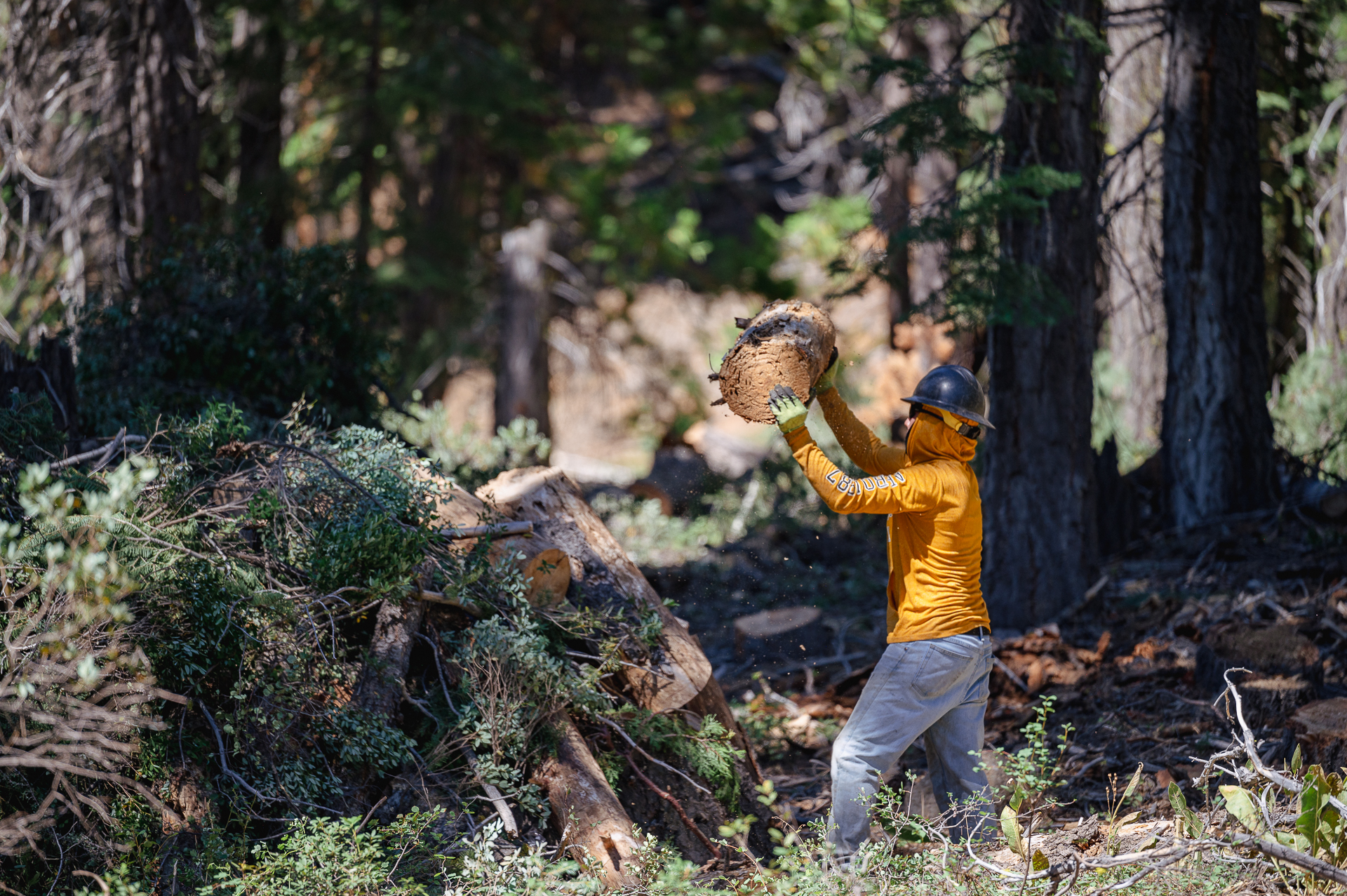
California Conservation Corps and Conservancy Partner to Reduce Wildfire Risk in South Lake Tahoe
This new video by the California Conservation Corps shows how their Corps members help improve forest health on Conservancy lots and reduce wildfire risk for neighbors in Tahoe communities.
We’re Hiring
Want to join a great team working to protect a national treasure? The Conservancy has openings in our legal and lands divisions:
Conservancy Staff Updates
New Role
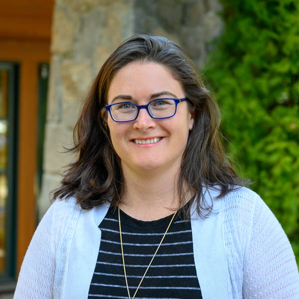
Erin Ernst
Acting Landscape Forestry Program Supervisor
Erin Ernst is now serving as the Conservancy’s Acting Landscape Forestry Program Supervisor. In her new role, Erin oversees the Conservancy’s work to convene and collaboratively lead landscape-wide partnerships that create efficiencies of scope and scale and address climate resilience. In addition, the Landscape Forestry Program works to build capacity for forest management Basinwide. Erin joined the Conservancy staff in 2019. She has been coordinating the Tahoe-Central Sierra Initiative, and prior to that had served as a Forest Planning Management Specialist. Before joining the Conservancy, she led ecological monitoring at the University of California, Davis, working on the USDA Forest Service (USFS) Central Sierra Province, and worked as a forester for the USFS at the Tahoe and Lassen National Forests.
Upcoming California Tahoe Conservancy Board Meetings
The Conservancy Board will meet at the Landing Resort in South Lake Tahoe on September 15, 2022. The Conservancy will broadcast the meeting virtually via the Zoom Webinar platform, with an option to connect by phone. An agenda will be available on the Conservancy website ten days prior to the meeting.
Lake Tahoe in the News
Tahoe Summit Explores Highs, Lows of Progress on the Lake, Tahoe Daily Tribune, August 19, 2022
Dr. Charles Goldman honored at 2022 Lake Tahoe Summit, KUNR – Reno Public Radio, August 20, 2022
To Fight Wildfire, California Gets a Surprising Solution: A New Sawmill, Bloomberg News, August 22, 2022
Developers Destroyed This Forgotten Wetland in Tahoe. Can Scientists Save What’s Left? SFGATE, August 1, 2022
Tahoe Conservancy Ramps Up Efforts to Reduce Fire Risk on Its Properties, Tahoe Daily Tribune, August 13, 2022
Construction On New Tahoe City Resort to Start in Spring, Sierra Sun News, August 23, 2022
Site preparation to begin for Sugar Pine Village affordable housing project, Tahoe Daily Tribune, August 30, 2022
Tahoe State of the Lake Report 2022, University of California, Davis, July 28, 2022
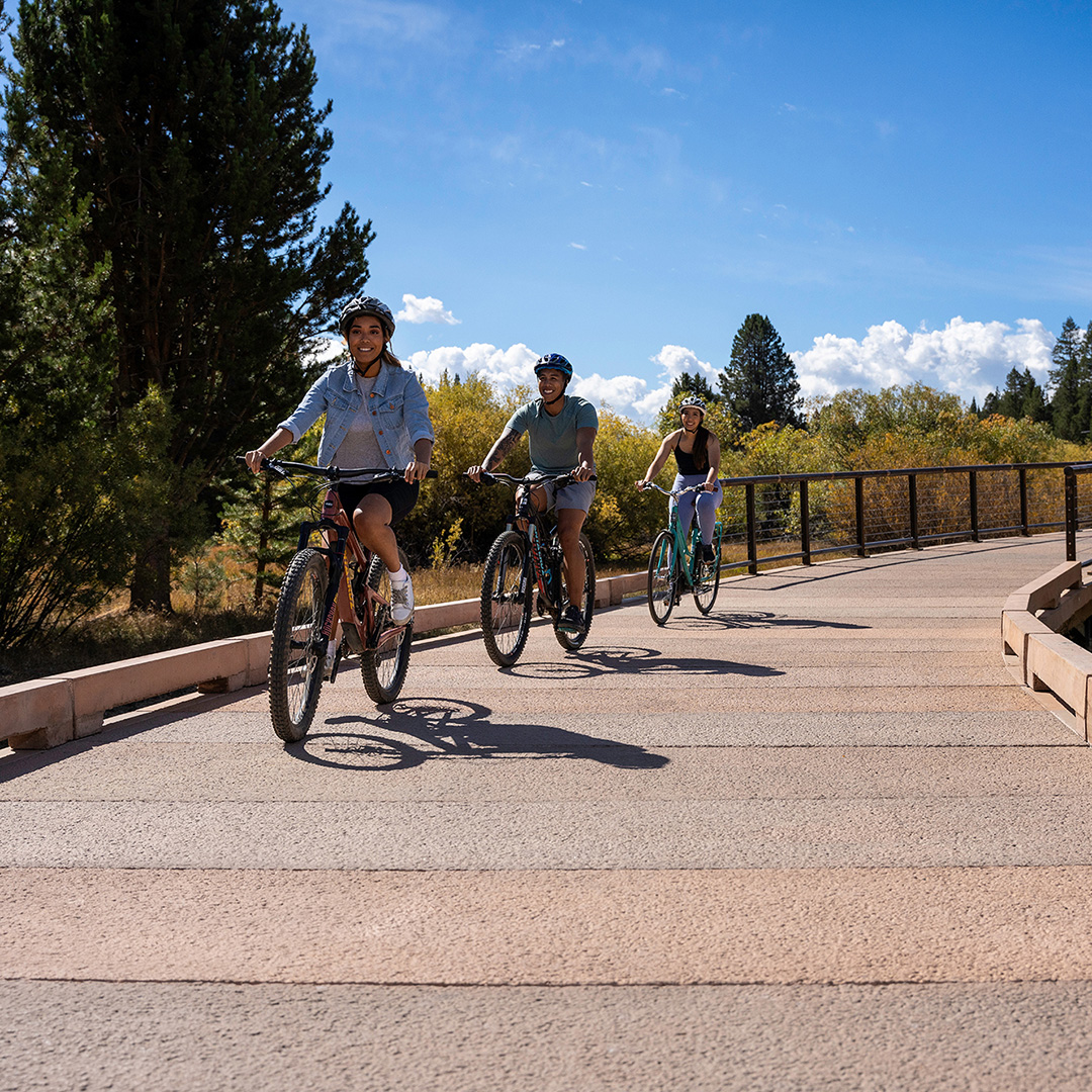
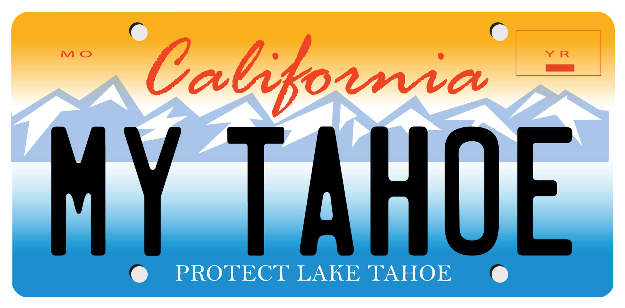
Show Your Love for Tahoe While Protecting It
When you order a California Lake Tahoe license plate, you help build biking and hiking trails, restore fish and wildlife habitat, and protect Lake Tahoe’s famous beaches and blue waters. 96 percent of all funds from Tahoe plate sales come back to Lake Tahoe.