Lower West Side Restoration
Project Details
LEAD AGENCY
California Tahoe Conservancy
FUNDING PARTNERS
CTC/LRWQCB/CSLT
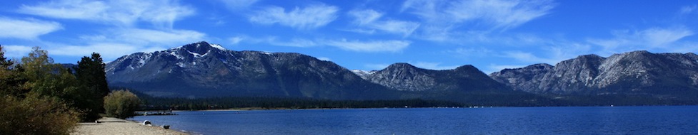
LOCATION
Help Protect Tahoe
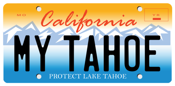
Help protect Lake Tahoe’s clear blue waters, mountain forests, and world-class recreation by ordering your Tahoe Plate today.
Get Your Tahoe Plate
Overview
Parking is free along Venice Drive throughout the year.
Located at the mouth of the Upper Truckee River in the City of South Lake Tahoe, the project addressed 208 acres with more than 1,400 feet of lakefront and involved the restoration of a disturbed wetland at the mouth of the Upper Truckee River.
Restoration Opportunities
Beginning in the 1950s, the river channel and surrounding wetland were substantially altered by subdivision construction activities in the Truckee Marsh. As the Basin’s largest wetland, the Truckee Marsh is a significant wildlife area and major filtering system for Lake Tahoe’s largest tributary, which drains the Basin’s largest watershed. The project site, located between the river and the Tahoe Keys Marina, was originally filled with up to 6 feet of sandy soil in preparation for development. Prior to development, in 1988, the Conservancy acquired the property for water quality protection, river and wetland restoration, wildlife habitat enhancement, and public access to the Lake. In 1998, the Lahontan Regional Water Quality Control Board approved a grant to the Conservancy for $699,000 from the Tahoe Keys Mitigation Fund to remove fill and restore wetlands on the site.
Approach
The goal of the Lower West Side project was to re-establish a meadow environment which would remove sediment and nutrients that affect lake clarity. Project objectives were to achieve settling of sediments, physical filtering by wetland plants, and biological uptake by plants and soil bacteria during flood events and/or during high lake levels. The restoration of approximately 23 acres of what was a largely unvegetated area re-created natural upland and wetland plant communities on the site and significantly increased the abundance and diversity of vegetation.
Construction of the project began in late May 2001, with removal of 82,400 cubic yards of fill which reestablished site elevations to favor soil saturation or shallow inundation, sustaining a diversity of wetland plant communities and restoring the natural water treatment capacity. Topsoil from the Trout Creek restoration project used to assist with revegetation efforts.
Success
The restored wetland is now analogous in topography, hydrology, and habitat characteristics to the existing wetland east of the Upper Truckee River, providing nutrient uptake and filtering of suspended sediment by vegetation, groundwater recharge, microbial denitrification and enhanced habitat for birds and mammals.