Angora Creek Restoration
Project Details
LEAD AGENCY
El Dorado County
FUNDING PARTNERS
California Tahoe Conservancy / United States Bureau of Reclamation / Tahoe Regional Planning Agency / Lahontan Regional Water Quality Control Board
LOCATION
Help Protect Tahoe

Help protect Lake Tahoe’s clear blue waters, mountain forests, and world-class recreation by ordering your Tahoe Plate today.
Get Your Tahoe Plate
Overview
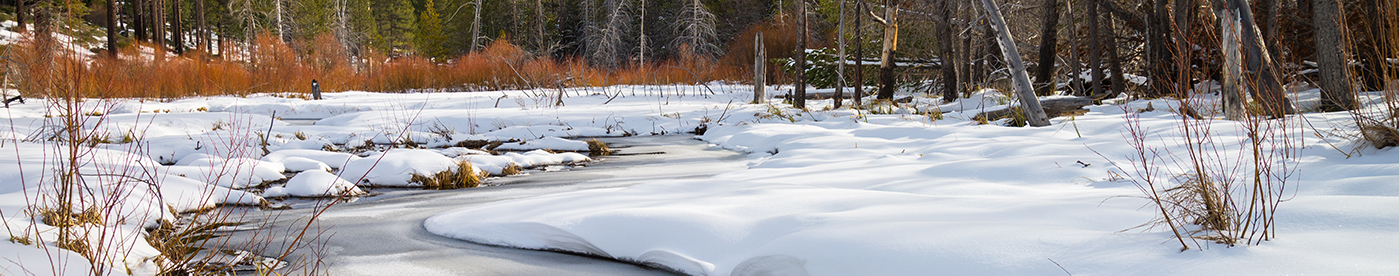
The project is located along Angora Creek, in El Dorado County. The 25 acre project area is located on U.S. Forest Service, Tahoe Conservancy, El Dorado County and private lands.
Significant changes to Angora Creek over the last 60 years have resulted in a stream and meadow system that is deeply incised, disconnected from its floodplain, presents major fish passage issues, and supports a plant community that is much drier than its historical condition and is thus more susceptible to fire.
Restoration Opportunities
The Angora Creek crossings at both View Circle and Lake Tahoe Boulevard consist of two undersized and failing corrugated pipe culverts. The existing culverts constitute an impediment to fish passage for all nine occurring species, including both spring and fall spawning migratory fish. Barriers to fish passage severely limit the utilization of approximately 4.5 miles of stream containing potential spawning habitat.
The main objective of this project is to restore stream function and improve riparian and aquatic habitat along a 3,300-foot portion of Angora Creek. Project implementation will correct erosion problems (including head cuts and bank erosion), restore stream function and improve riparian and aquatic habitat by eliminating fish passage barriers along a 3,300-foot portion of Angora Creek. The Conservancy provided funding for the right-of-way acquisitions and project planning and this project represents the most upstream of a series of Conservancy-funded projects along Angora Creek completed over the last 15 years.
Approach
The project involves the construction of 2,300 feet of new channel, replacement of undersized and failing culverts with concrete arch culverts at two locations and removal of fill material adjacent to the stream channel to improve floodplain function and riparian vegetation. This project will provide long-term water quality, riparian and aquatic habitat benefits.
Status
Complete.